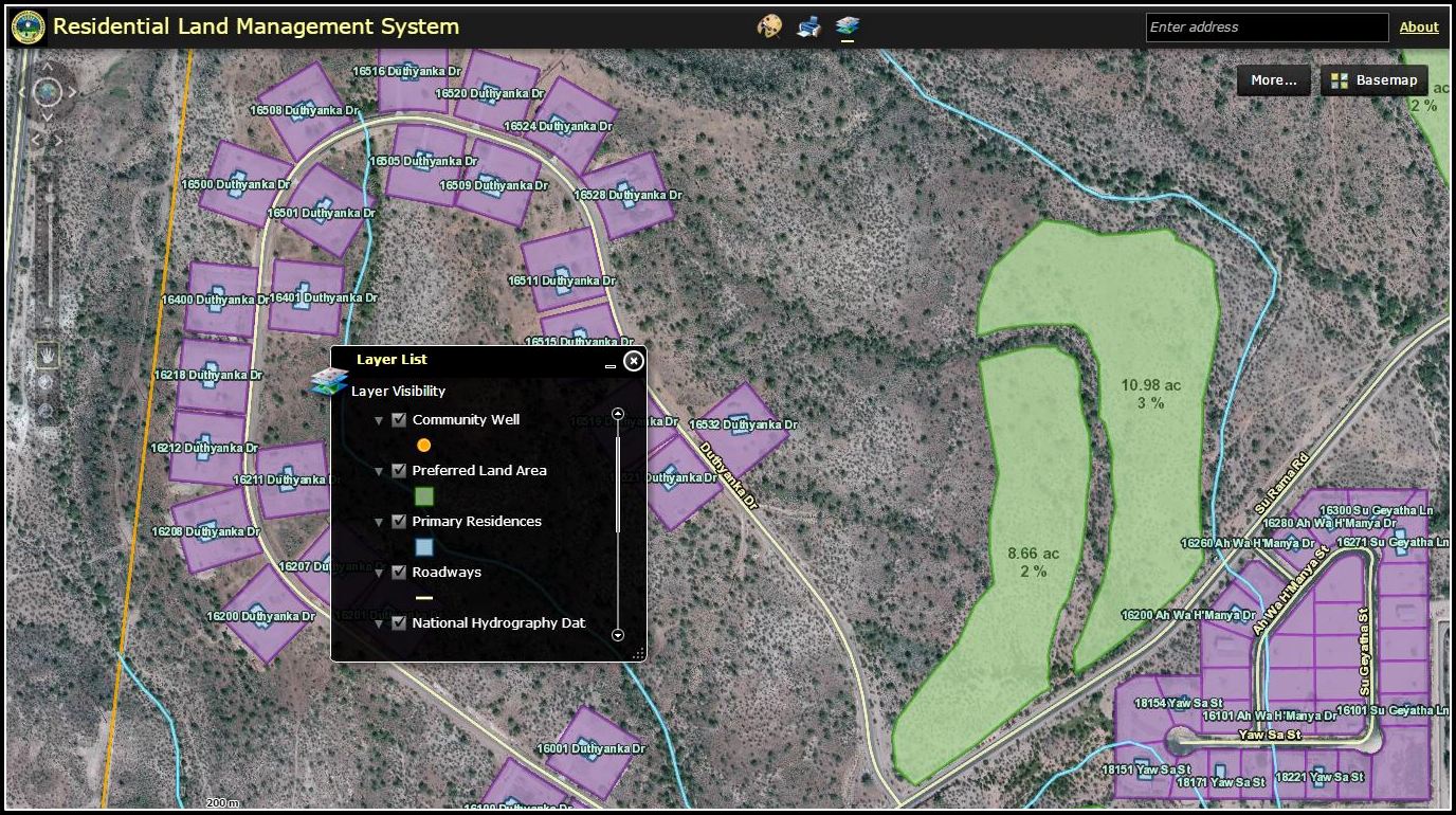
Ft. McDowell Yavapai Nation
Using GIS as a platform, Precision Geographic built a Residential Land Management System to facilitate strategic planning for future growth for the Tribe. This project enables staff to be more proactive in land use and records management, improves reliability and accessibility of residential data, and reduces errors, gaps and inconsistencies in data. The project also extends the value of the Tribe’s enterprise GIS, which Precision Geographic developed and administers.
May 5, 2015