Preserving the traditional Yavapai language has long been identified by leaders of the Ft. McDowell Yavapai Nation (FMYN) as an important goal for the Tribe.
Precision Geographic was invited to help support this effort, while also promoting an awareness of tribal geography and exposing students to GIS technology.
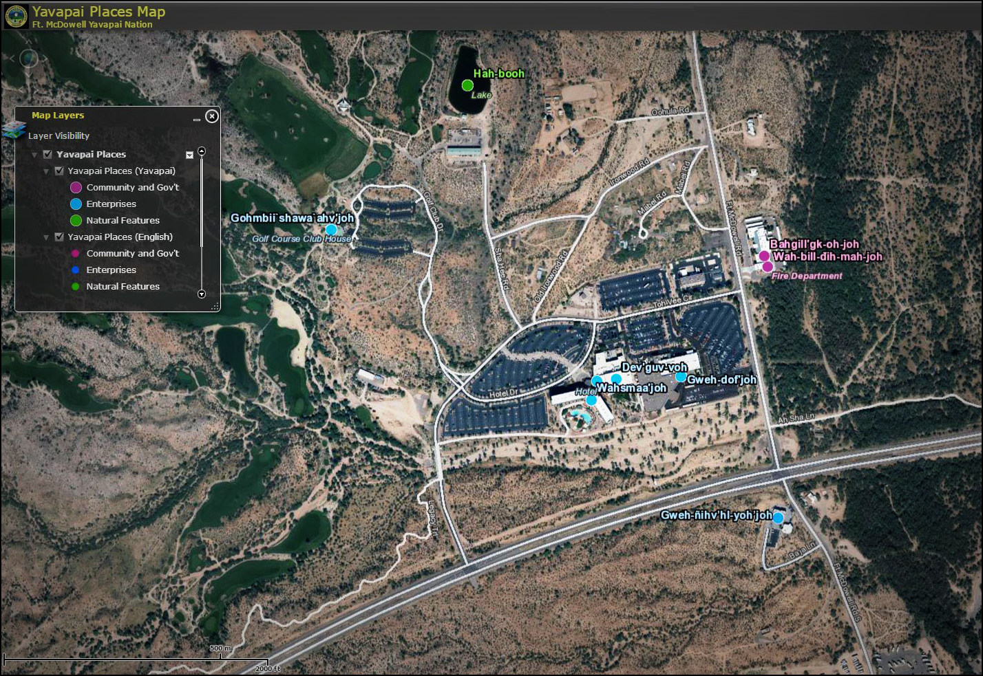
We designed and led several learning seminars for both elementary and high-school age students. The seminars were intended to inspire students about GIS and geography, help teach the native Yavapai language, and most importantly, have fun!
Using GIS technology, students mapped out numerous places across FMYN using native Yavapai names. We then compiled this information into an online, interactive map that is available to all Tribal members as both a language and mapping resource tool.