Ft. McDowell Yavapai Nation
FMYN required a reliable mechanism to support its strategic transportation planning and information management. The primary purposes of this initiative include helping secure roadway improvement funding, planning for roadway expansion, and tracking critical roadway information.
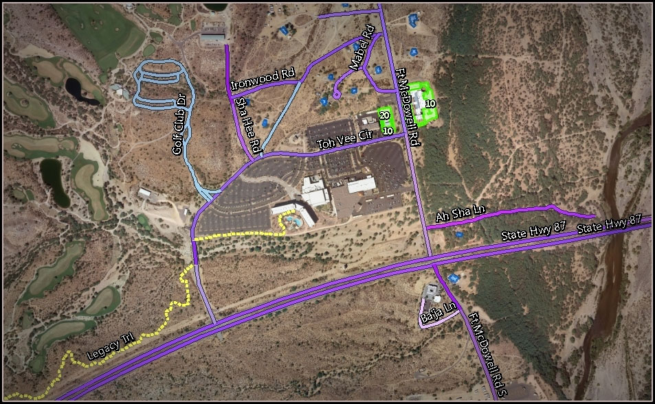
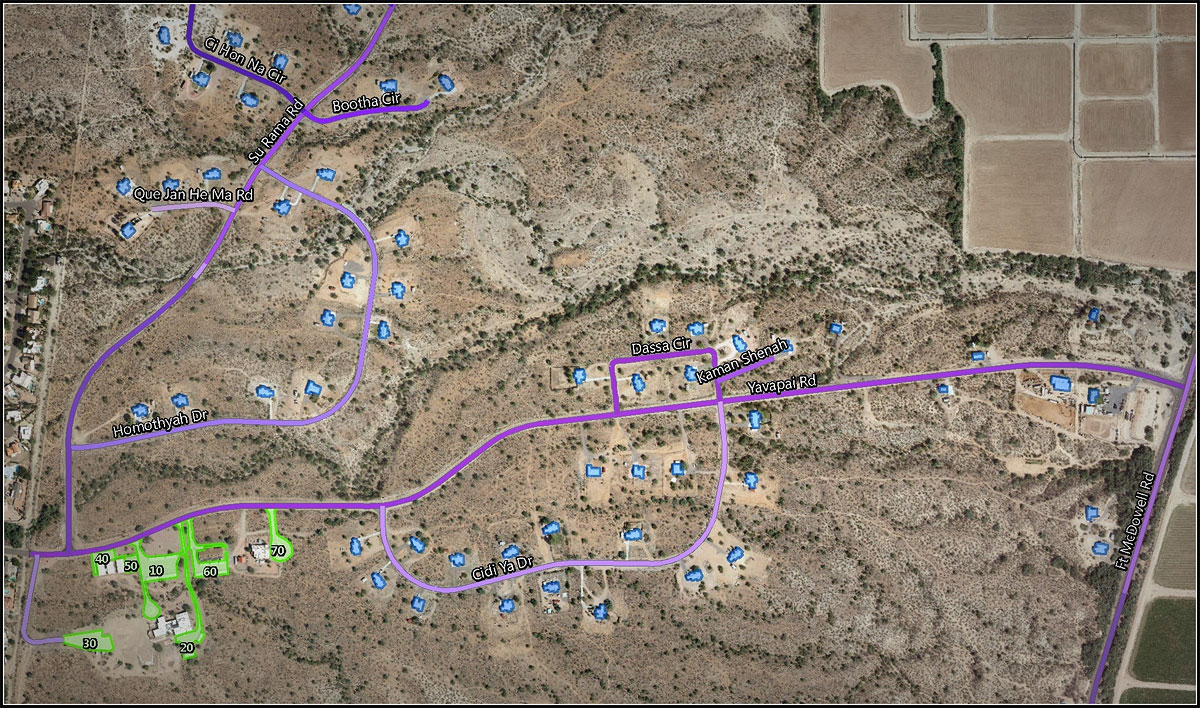
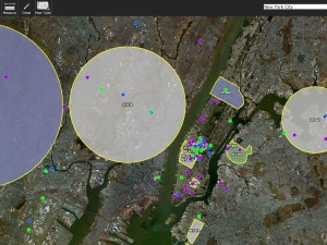
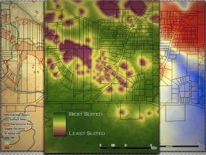
Using GIS, Precision Geographic built a model characterizing the FMYN’s Transportation System which allows for the storage, display and access to key transportation information, such as roadway lengths, roadbed conditions, surface type and maintenance status. Information about parking lots, trailways, culverts and bridges is also part of the System.
May 6, 2015